I first read about Mono Hot Springs and Kaiser Pass Road about two months ago. And since then I have (had) been obsessessed with the place. I read all I could find regarding the area. I planned my first (and last) trip. Last week, we set off.
Follow highway 168 out of Fresno, past Shaver and Huntington lakes. Take the turnoff for Kaiser Pass Road. The next 25 miles are pure fun (not really).
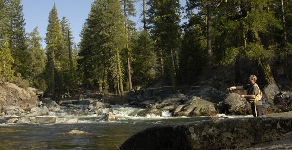
Kaiser Pass Road has some of the most beautiful and pristine high Sierra alpine scenery I’ve ever experienced. The area is stunningly gorgeous. Granite rocks, pine trees, blue skies, and trout streams everywhere.
Yum and I camped at Edison Lake, way at the top, at the end of the road. It was cold and quiet. It rained on and off most of the time so we didn’t get to see the 11,000 foot peaks surrounding us (until the next day).
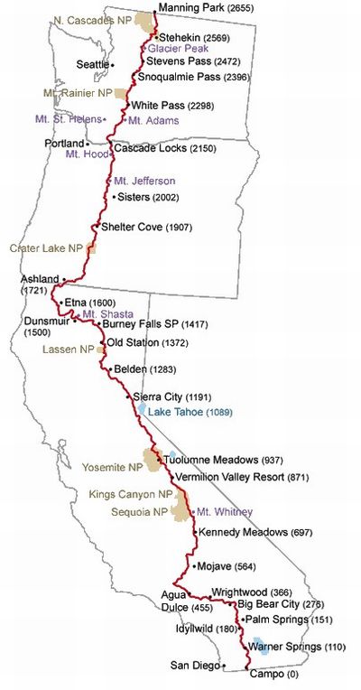
We met a PCT thru-hiker named KingStreet and gave him a ride to Vermilion Valley Resort. His blog is Far From King Street. We swapped some stories and I gave him a new water filter. I really admire these guys, the thru hikers, both PCT and JMT. It’s my dream to hike the JMT one day. But until then, I’ll have to live vicariously through these guys and their blogs.
But the road…that road is terrible. It’s narrow, windy, full of pot holes and blind corners, and did I mention narrow? In most places there’s only room for one vehicle to pass. Often you will encounter a truck coming the opposite way and one of you will have to stop, back up, and let the other pass. Most of the time you’ll be driving 10 or 15 miles an hour, tops. It’s very stressful. And in the end, just not worth the drive from Manteca.
It would be different story if I lived in Fresno. Because then it would be my playground, the closest wilderness to home, and I would simply adapt to the horrible Kaiser Pass Road. But I live in Manteca, a few hours from Fresno. The distance is just too long for too little reward.
Kaiser Pass Road was sold to me as “Yosemite without the crowds”. Well, not quite. It was certainly crowded. There were way too much cars on that dangerous road. With thousand foot cliffs on either side it can be pretty terrifying to travel up there and back.
And then there’s Mono Luke-Warm Springs…
I saw pictures of people soaking in natural hot springs, surrounded by alpine vistas. I had to check this place out. I sampled a few “hot tubs” and found that they were not hot at all. Sure, the water was warmer than the San Joaquin river that flows through the area. But the hot springs were not hot. I was disappointed, and that was the last straw.
We drove to Florence Lake, which is by far the more beautiful area, and enjoyed the afternoon sunlight. It truly was a breathtaking place.
We had planned to spend three days in the area, exploring and fishing and hiking and soaking. But the drive takes so much out of you. And the area is quite crowded, which was surprising to me, considering the distance from civilization and the bad roads. So after one night we drove the 7 hours back home.
I don’t think I’ll be back to Kaiser Pass Road. Not unless I have the opportunity to backpack the nearby John Muir Trail and Evolution Valley. This is unlikely. I live way closer to Yosemite and Tioga Pass Road to ever return to Kaiser. I can be in Tuolumne Meadows or Yosemite Valley in less than three hours. Sure, the crowds are heavier in Yosemite.
But I think the time saved and the less-stressful roads are a worthy tradeoff.

