Tag Archives: highway 395

Hoping for Hope Valley

On Sunday afternoon, Yum and I went for a short little drive.


View Larger Map

Only a few hundred miles.


Silver Fork of the American River


Yum with her new friend in Kirkwood


My new crush, Hope Valley.

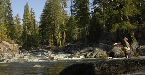
Hope Valley is such a beautiful place. It lies between Kirkwood and the Cal-Neva border along highway 88. It has everything that I look for in the mountains: bleach-white granite rocks, high altitude(7,000 ft.), a trout stream (West Fork of the Carson River), designated camp grounds (US Forest Service link), alpine scenery(meadows, high mountain peaks), and my beloved pine and aspen trees.

I’ve spent all day Monday and today dreaming about Hope Valley. I can’t wait to go back for another visit.

Click here for some more pictures of our roadtrip.

Lassen Volcanic National Park

Cold. Wet. Rainy. Foggy. Cloudy. Cold.

Drove up Wednesday. Tried fishing some of the very small creeks around our campsite. No luck. Built a roaring fire to fend off the wet cold. Bundled up and spent the night shivering in our tent. 30 degrees. Ice on the ground in the morning.

No fishing? Colder than a well digger’s ass? Too foggy and cloudy to see any of the spectacular views Lassen is known for? We’re out.
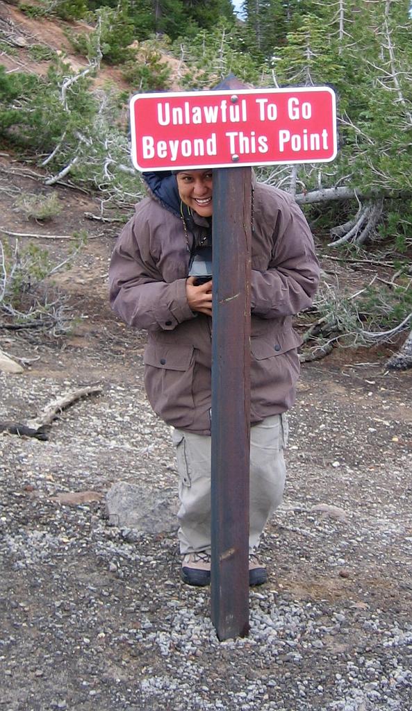
Yum, breakin' the law

Drove over to my favorite fishin’ spots near Lake Almanor. Kept 8 trout and drove to all the way down highway 89 to Truckee.

Highway 89. This is one of the most beautiful highways I’ve ever driven. It starts way up by Mount Shasta and winds through the southern Cascades and northern Sierra Nevada, through Lassen Volcanic National Park and Lake Almanor and Quincy and Truckee and Lake Tahoe and finally ends up near Lake Topaz on 395 near the California-Nevada border. You get the the wide range of California alpine scenery–the volcanic rock formations of the Cascades, the high Sierra white granite, various rivers and creeks, pine trees and oaks and aspens, craggy eastern Sierra barren rocks, and so on. The area between Lake Almanor and Truckee on highway 89 is particularly nice and filled with plenty of places to camp and fish. This is an area that I’d like to explore a lot more in the future.

Ahhh, Truckee… a nice, warm, dry cabin awaits us. We cranked up the heat and built a fire in the hearth, ate grilled trout with lemon, and went to bed early. Slept easily and peacefully in our warm and comfortable bed.

This morning we drove home, stopping by Grass Valley just because, and Auburn to look at houses and dream about living there.

Here’s a few pics of Lassen. Just a few.
Yosemite and stuff

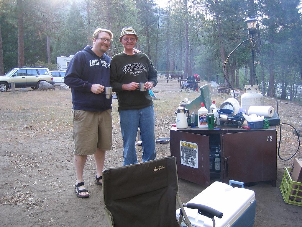
Last Wednesday Yum and I drove up to Wawona campground in the southern part of Yosemite to meet my dad.

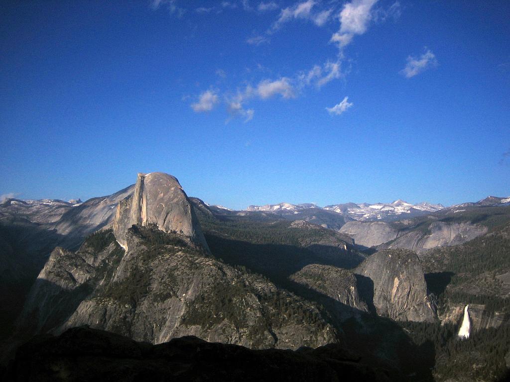
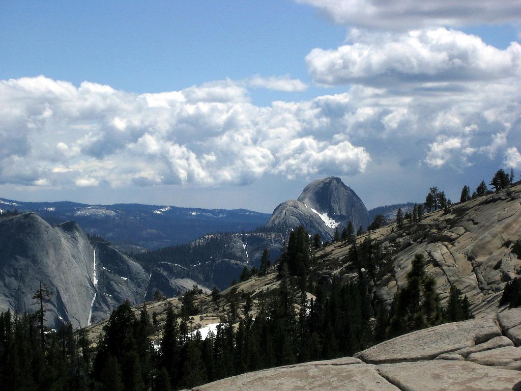
After setting up our tent to drove up to Glacier Point for some spectacular pics.

We camped out Wednesday night next to the river, and I fell asleep listening to the roar of the rapids near our tent.

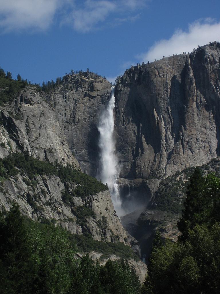
The next day Yum and I drove down to the valley and snapped some more photos. We had coffee at Curry Village and grabbed some sandwiches at Degnan’s Deli in Yosemite Village. The valley was sooo crowded! The waterfalls were awesome.


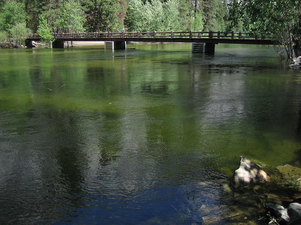
Look at all that water under Swinging Bridge.

We left for the high country, driving up Tioga Pass road. More pics.

It began to snow. I started to get a little worried, since we were driving the Yaris and didn’t have 4 wheel drive or chains. We cut our trip short and decided to get out of the mountains before we got stuck.

Out the eastern exit of the park and down to highway 395. Yum persuaded me to drive south a bit to the June Lake Loop, since I’ve never been there.

I was impressed. I didn’t expect to find places like that in the eastern Sierras. Lots of snow and pine trees and water and creeks and lakes. Very nice.

I napped while Yum drove us to Minden.

Then we took highway 50 home.

Lots of new red ink for our map of California. Some pics here!